Irrigation Services Surveyed and designed irrigation projects ranging in size from 5 hectares to 5,000 hectares. more>>
Road Surveys Road Survey
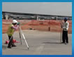
Roads can be surveyed to determine the condition of the pavement more>>
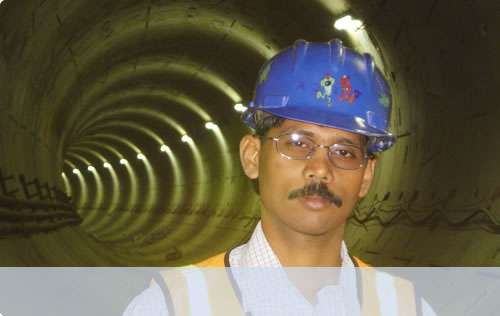
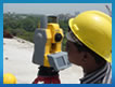
Tunnel Surveys construction sites are often vast. Apart from a competent technical execution of our work more>>
3D monitoring
We scan all types of large scale objects such as normal buildings, heritage sites (including but not limited to historic buildings), industrial sites and mine workings. We provide our clients with a point cloud, the rough data gathered through scanning.
The point cloud itself consists of many millions of data points is a very precise 3D model of the scanned object. Though for most applications an unprocessed point cloud is too big it can be used by software like Pointools for:
making visualisations of the object
taking simple measurements
comparing the actual state of the object against project objectives